Uploading, Viewing and Managing Documents in GeoNode
“GeoNode integrates the ability to upload non-spatial data in the form of miscellaneous files or documents. If desired, these documents can be associated with spatial layers that exist in the GeoNode”
In this module, we will explore GeoNode’s capability to ingest non-spatial data and link them to spatial data. In this module we assume a user has spatial data already available in GeoNode.

You try:
Goal: To explore the capability of GeoNode handling non-spatial data and usage of non-spatial data in GeoNode
- Log into GeoNode
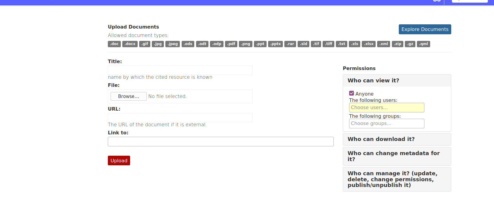
- Navigate to the Data menu and choose Upload Documents.
- Select the documents you need to upload.
NB: The document can be on your file system or online (use document link).
- Select the layer/map you need to link the document to, if desired.
- Upload your document
- Populate the metadata for the document
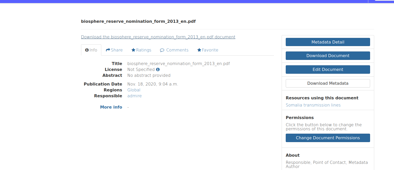
- Explore the documents after the upload finishes.
- Select the document you need to visualise.
- Use the Explore options on the document.
- Navigate to the layer you associated the document to and the Document is listed there.
Check your results
A document should be visible in the Explore documents menu. If a document is linked to a layer it should be listed in the properties of the layer.


More about managing documents
GeoNode allows to share reports, conceptual notes, posters, spreadsheets, etc. A wide range of documents files can be hosted on the platform, including text files (.doc, .docx, .txt, .odt), spreadsheets (.xls, .xlsx, .ods), presentations (.ppt, .pptx, .odp), images (.gif, .jpg, .png, .tif, .tiff), PDF, zip files (.rar, .zip, .gz), SLD, XML or QML files.

Check your knowledge:
-
What is the significance of associating documents with layers:
- To highlight the functionality in GeoNode. It has no significance
- It is just a nice thing to do
- To publish additional information about the layer beyond the metadata
-
What is a standalone document:
- A document that is of a specific type e.g pdf
- A document that does not have an association with any layer loaded in GeoNode
- A document associated with multiple layers in GeoNode
-
Can a Document be associated to multiple layers:
- Yes
- No
- Maybe

