

Accessing GeoNode content from QGIS
“GeoNode is built with QGIS Server or GeoServer, both of which provide OGC Catalogue Service for the Web (CSW). External clients are able to interact with GeoNode via these OGC services”
GeoNode uses CSW as a cataloguing mechanism to query and present geospatial metadata. Other tools can then interact with GeoNode instances using the CSW standard. In QGIS one such tool is Metasearch. MetaSearch is a QGIS plugin to interact with metadata catalogue services, supporting the OGC Catalogue Service for the Web (CSW) standard. This plugin provides an easy and intuitive approach and user-friendly interface to searching metadata catalogues within QGIS.
In this module, we will look at how GeoNode with GeoServer backend interacts with external application to view the data and manipulate it.
You try:
Goal: To explore GeoNode data in QGIS using various tools available in QGIS
- Activate the MetaSearch tools plugin from QGIS plugins.
- Open the MetaSearch tool dialog under the web menu.
- Click on Add Default Services
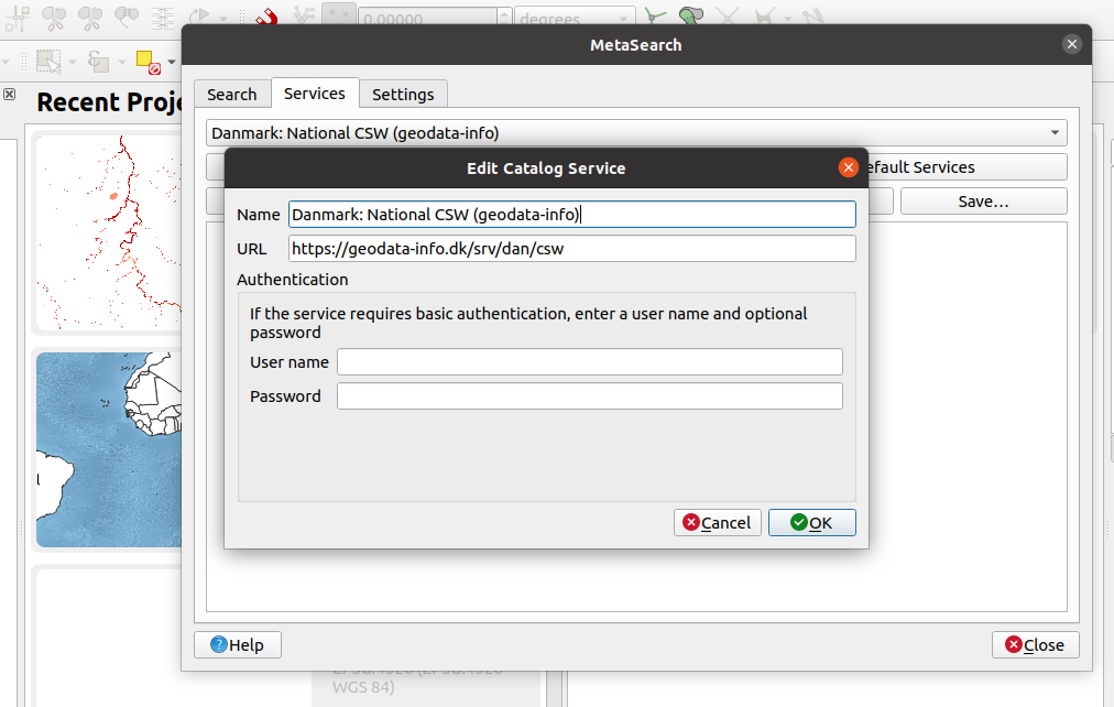
- Choose service Danmark: National CSW (geodata-info)
- Establish a new connection in the OGC connector.
- Click on service info. The request does produce a document that has a list of all available layers and their extents (Get capabilities document)
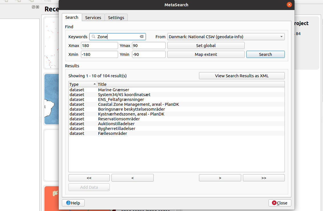
- Click on the Search Tab in the OGC connector.
- Type in the name of the Layer in the Keywords dialog. Do not type anything to get a full list of all available Layers and documents.
- Select the Layer from the listed layers.
- Select from the OGC services the format you need to access the layers as.
NB: WFS and WCS are sometimes slow because they depend on the size of the image being accessed from GeoNode.
- For WFS add the layer and edit the attributes or geometry using QGIS tools.
- Visualize the layers in the map canvas.
Local GeoNode
- Open the MetaSearch tool dialog under the web menu.
- Establish a new connection in OGC connector by clicking new and enter a name for the service, Site URL, Username, and password.
- Click on the Search Tab in the OGC connector.
- Type in the name of the Layer in the Keywords dialog. Do not type anything to get a full list of all available Layers and documents.
- Select the Layer from the listed layers.
- Select from the OGC services the format you need to access the layers as.
Check your results
After importing the layer in QGIS using WFS you should be able to see the attributes of the layer and be able to toggle edit so
| Name | Expectation |
|---|---|
OGC connector |
MetaSearch |
Site URL |
http://geonode.com/csw |
Layer |
Name of layer available in GeoNode |
OGC services |
WFS/ WMS/ WCS |
QGIS tools |
Field Calculator, Digitising |
More about interacting with GeoNode using CSW
GeoNode is based on CSW (Catalogue Service for the Web) specification, which defines common interfaces to discover, browse, and query metadata about data, services, and other potential resources.
GeoNode uses pycsw as the default CSW server. Other CSW server implementations are:
- GeoNetwork
- deegree
These backends can be configured as an alternative to the CSW backend in GeoNode.
When using a tool like MetaSearch tools with login it simulates the permissions for all layers that are visible to you in GeoNode. When accessing the CSW service without login credentials you see public layers (layer with no access restrictions) in GeoNode.

Check your knowledge:
-
What kind of OGC service do you use if you need to edit the raster:
- WFS allows me to edit the properties of the raster and any changes are then pushed to GeoNode
- WCS allows me to edit the properties of the raster and any changes are then pushed to GeoNode
- The raster cannot be edited in QGIS, you need to re-upload the raw raster in GeoNode after making your modifications
-
What is produced when you click service info in MetaSearch and what details does it contain:
- It produces the layer which can be loaded directly into QGIS
- It produces a list of all the available layers in GeoNode and the links to access them
- It produces a list of all geospatial data available in GeoNode excluding documents
-
Why is it desirable to put your username,password when setting up connection endpoint in MetaSearch:
- It allows access to layers with restricted access from the GeoNode
- It is not important because the number of layers visible still remains the same

Further reading:
-
opengeospatial http://www.opengeospatial.org/
-
opengeospatial http://www.opengeospatial.org/
-
pycsw_quickstart https://live.osgeo.org/en/quickstart/pycsw_quickstart.html